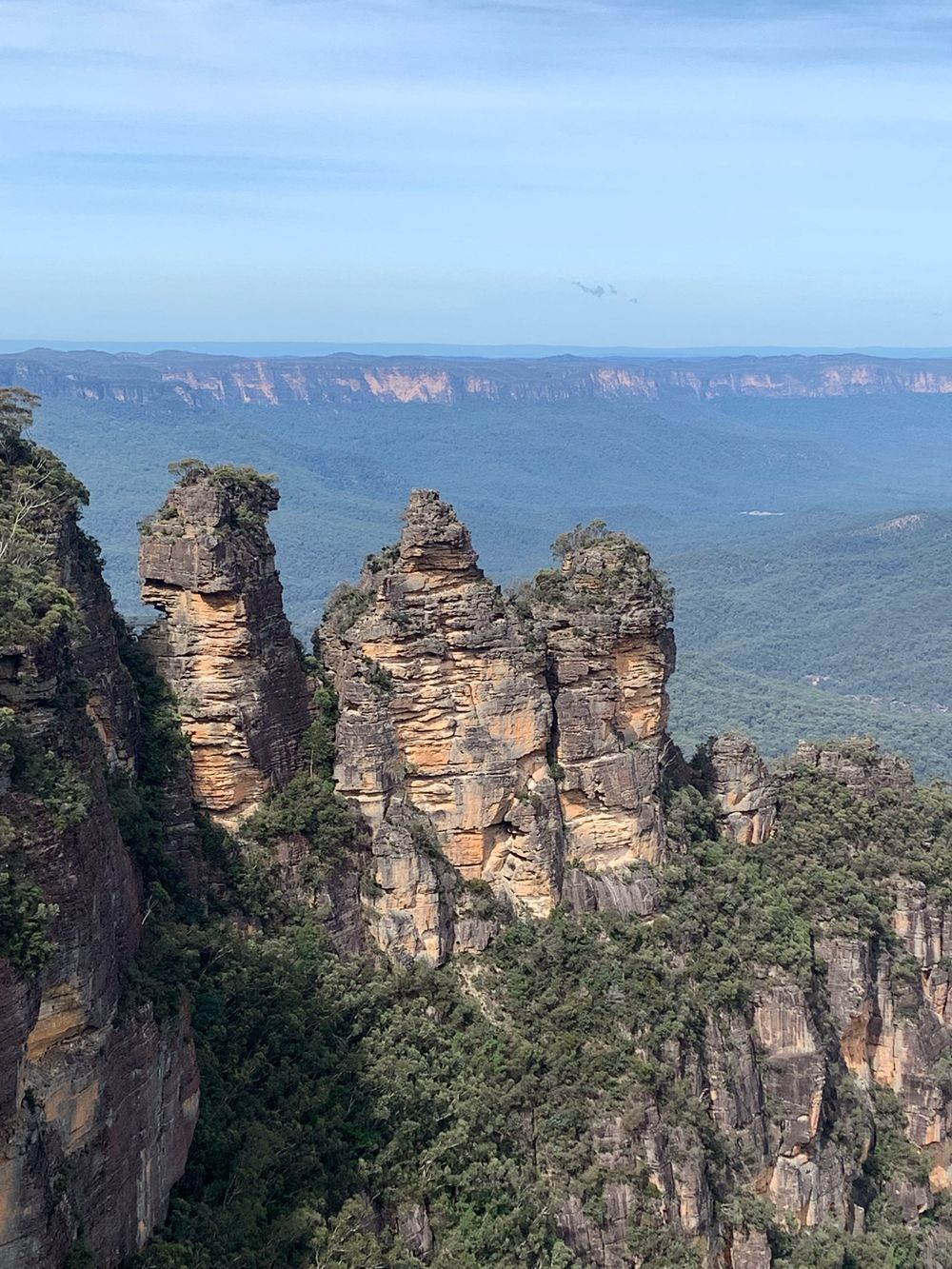
 Hiking
Blue Mountains · Australia
Walk among the escarpments
Explore mapped walking paths and marked trails.
Find mapped options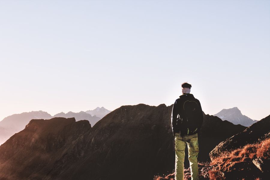
Find a trail, follow your curiosity, and make the outside part of your everyday.
Open a GPX track to see your route statistics here. It stays in this browser view.
Bring your activities together. Preview selected activities from Strava once your account is connected.
Activity connectionsLoading open map…
Try List view to browse featured places, or check your connection and WebGL support.
Data © OpenStreetMap contributors · ODbL. Trail overlays: Waymarked Trails · CC BY-SA 3.0 DE; ski overlays: OpenSnowMap · CC BY-SA.
Terrain and contours are approximate; 3D visual heights are enhanced 1.3×. Community-mapped features can be incomplete. Check access, closures and conditions with the land manager or resort. Climbing sites and individual routes are labelled separately. Pins may use an area location; they are not pitch topos or current ice-condition reports. Sources & map credits.
HikingBlue Mountains · Australia
Explore mapped walking paths and marked trails.
Find mapped options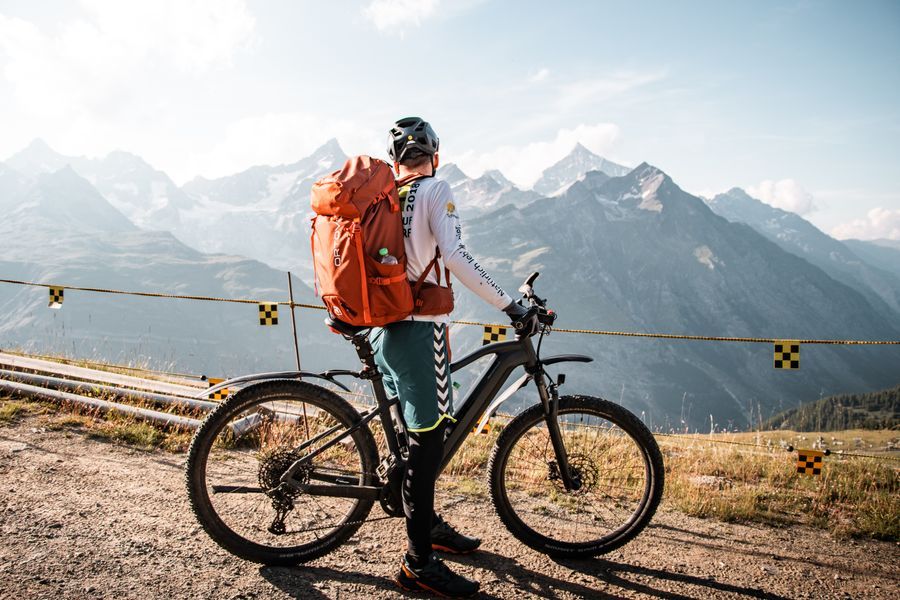 Mountain biking
Canberra region · Australia
Browse mapped MTB tracks and source difficulty grades.
Find mapped options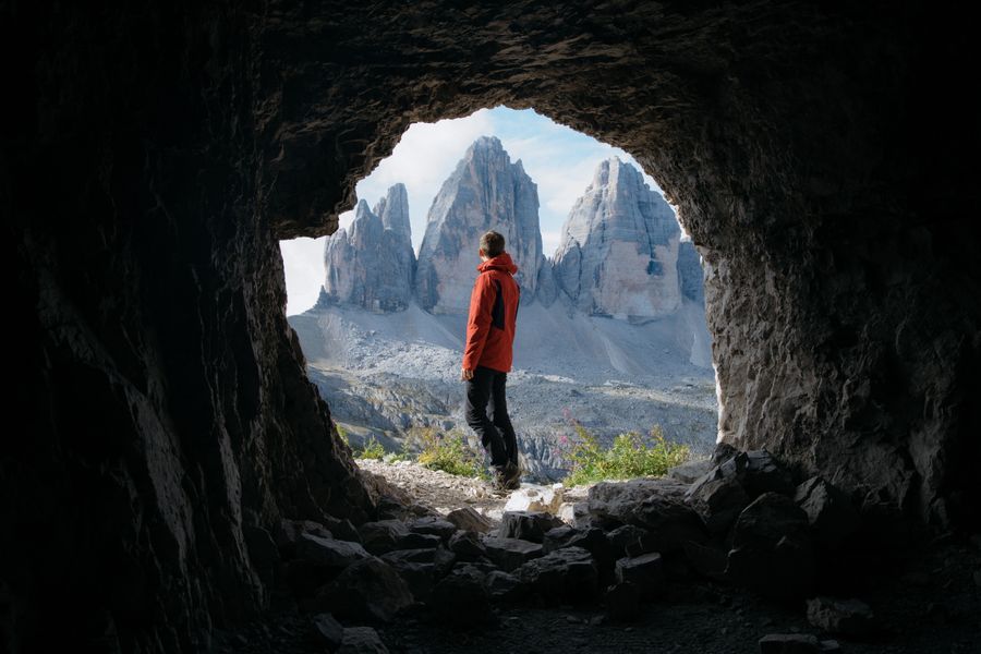 Climbing
Blue Mountains · Australia
Discover recorded climbing areas and individual routes.
Find mapped options Skiing
Mont Blanc region · France / Italy
Explore mapped pistes and lifts, where coverage exists.
Find mapped optionsDestination inspiration, not verified itineraries; photographs are illustrative. Select a mapped feature for its source and available details. Route distances describe the mapped section, not necessarily a complete outing. Check current access, weather and conditions locally.